Atlases (Maps)
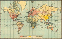
Atlases are books of maps. In print atlases, you must use the index to find your locations. Online, these map collections are searchable or browsable and can range from printable maps to very interactive experiences.
Follow the links below to some online atlases or maps.
These links will open in a new window. Some may require a password which you can get from Mrs. Lucas.


|
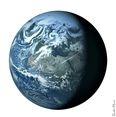
Google Earth
You will need to download the 3D viewer to your computer in order to view the maps. Please get your parents' help before downloading content from the Internet. Culture Grams

|
Fun Things with Maps

This fun game asks you to guess a location in the world by looking for visual clues in the image presented. It uses Google Street Image Views.
